Winter is one of my favorite times to travel, and lends itself to more temperate weather in California’s hotter desert-based climates. Needing to get away from the confines of our home, and anxious to test our new car camping setup, my partner Ryan and I decided to spend the holidays in one of the most remote places we could think of – Death Valley. Trailing after our close friend Vincent, who had some experience traversing the less accessible areas of the park in his lifted Toyota 4Runner, we armed ourselves with ham radios, GPS coordinates, and the desire to test the off-road capabilities of Ryan’s new Subaru Outback.
We left Santa Barbara on Thursday night (Christmas Eve), pulled off highway 395 somewhere in the Mojave Desert to get some rest, and readied ourselves to head into the park early Friday morning. We intended to take the 395 until Big Pine, travel from 168 to 266, cross the California-Nevada border, then crawl down unpaved roads through Cucomungo Canyon until we hit Eureka Dunes.
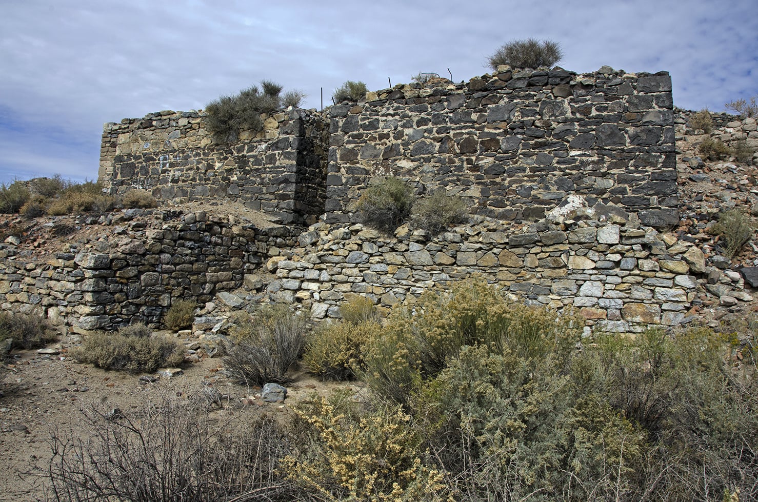
On our way, we passed a historic mining site just off the side of the 266. According to a placard, prospectors came to the area in the 1860’s in search of silver deposits. Seeing the joshua trees that dotted the hillsides, they thought that they were related to palm trees and dubbed the area Palmetto. It functioned briefly as a silver mining camp, and a stamp mill was erected to pound ore into usable material. With time pressing, I didn’t have time to stop and take photos, but we did spend a few minutes poking around the ruined stone structures.
But – our sense of time contracting from the excitement of the road and silly radio chitchat between our two cars – we unexpectedly hit the 95 freeway, and realized we had driven about an hour past where we were supposed to turn off the highway. Not wanting to lose time back-tracking, we decided to press on and enter via Scotty’s Junction into the east side of the park. This change of plan ended up costing us more time in the end, as the eastern entrance to the park greeted us with a locked gate. Scotty’s Castle was closed due to damage and the road was inaccessible. Shit. We steeled ourselves to turn around, fortunately with enough time to reach Eureka Dunes before sundown, and made sure not to miss our turnoff the second time around.
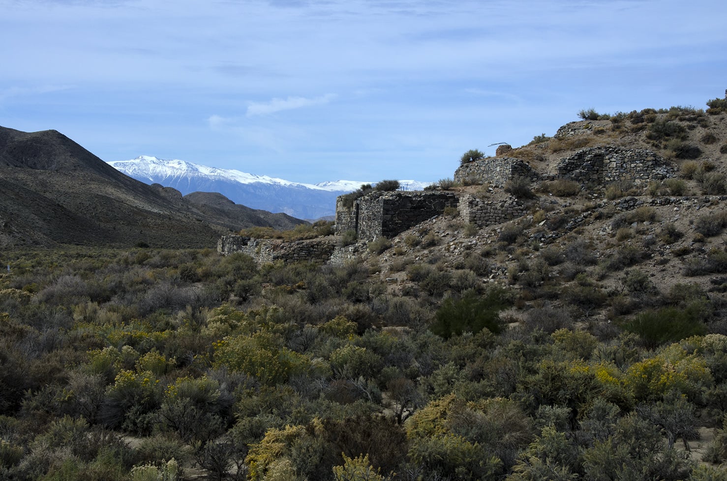
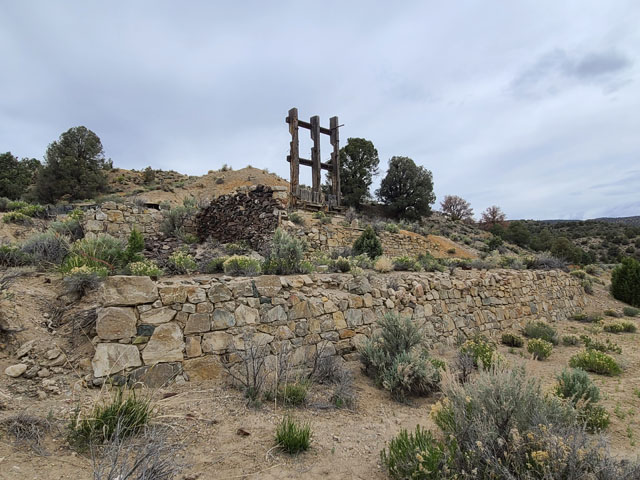
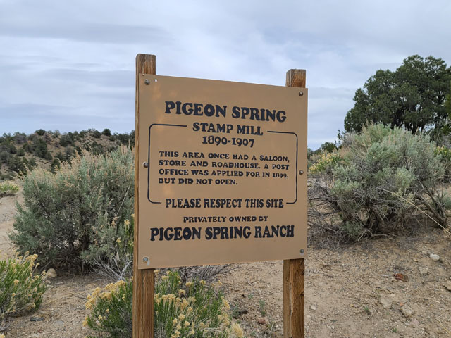
We circled back to Pigeon Springs Road, the turnoff we had initially missed. Another historic site, there had also been a functioning stamp mill here in the late 1890’s, as well as a settlement with a roadhouse and saloon. Our friend Vincent, who is an USPS employee, made sure to note that the area had placed an application to erect an official post office in 1899, though it was never opened.
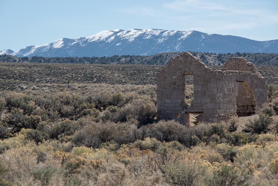
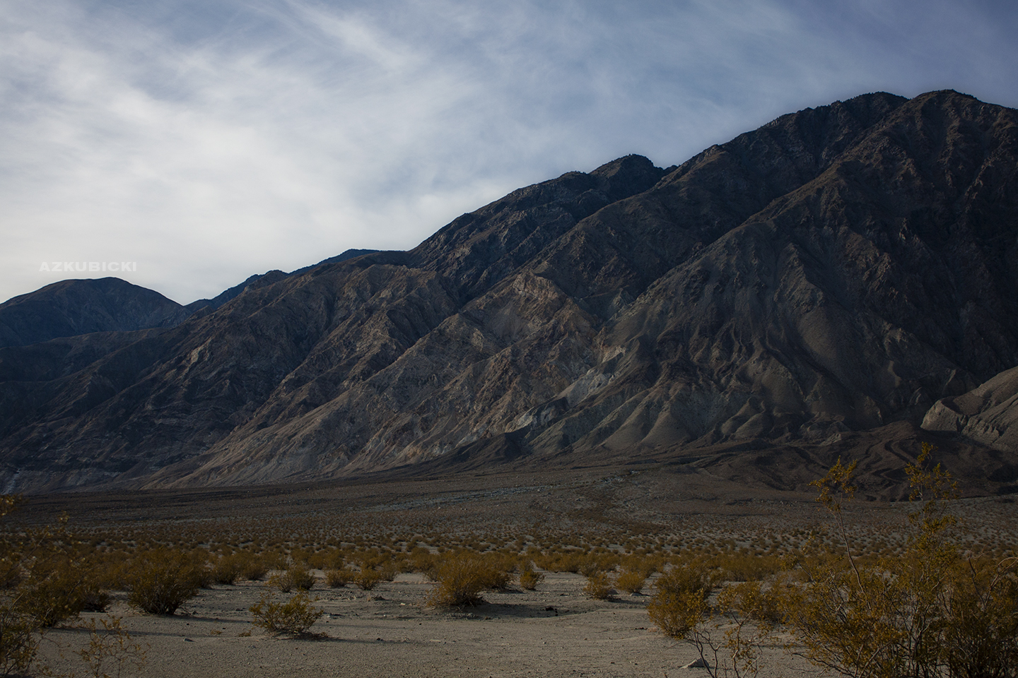
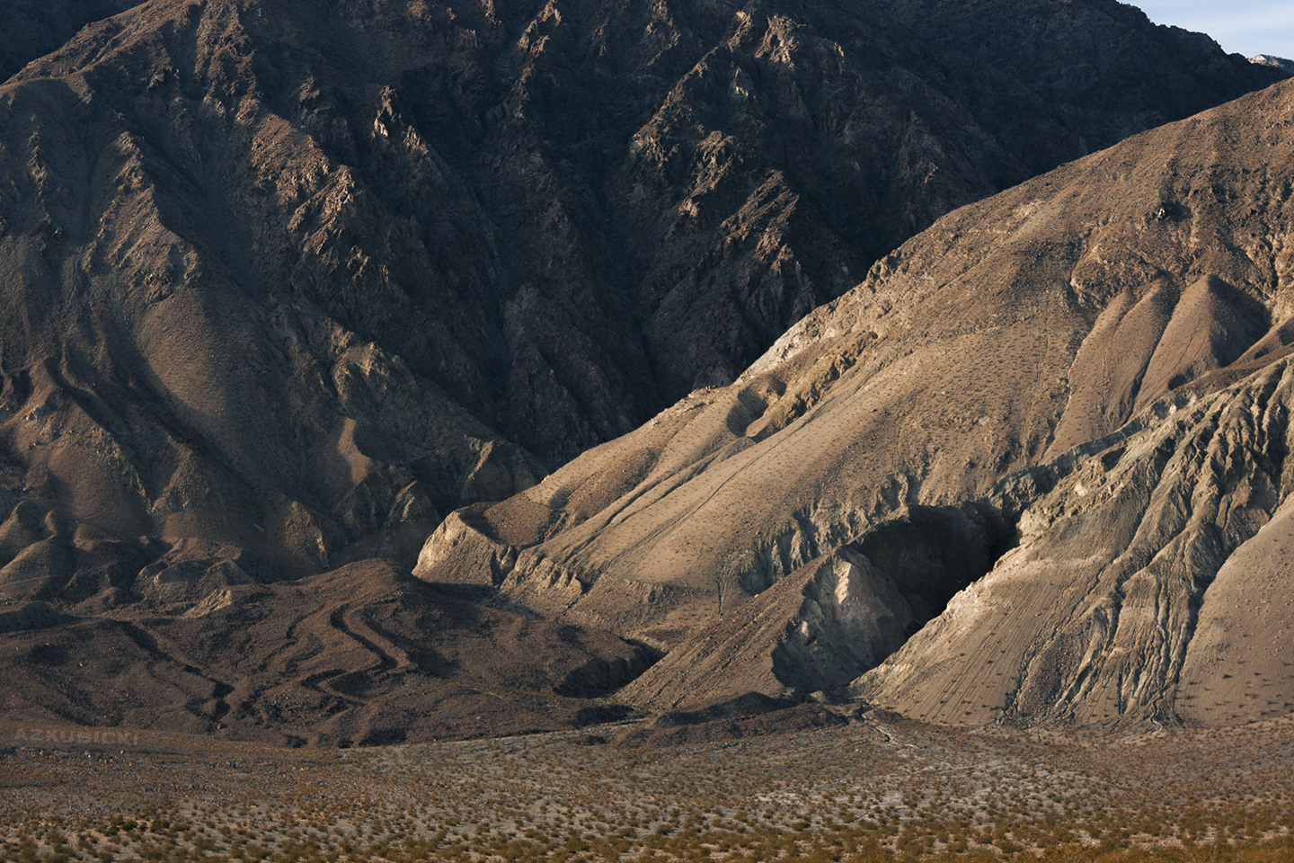
From there, the descent onto North Eureka Valley Road through the Sylvania Mountains was our first real foray into off-road driving and it was exhilarating to be bounced around by the pitted dirt. The rolling hills were densely forested by juniper, sage, and pinon pines – it was hard to picture the scrubland opening up into a desert, with the only clue being an occasional joshua tree. These mountains held many more remnants of mines, and we’d catch glimpses of ancient timber portals through the brush. My map was dotted with X’s and “PROSPECTS.” It was hard not to feel like we were traveling back in time as we passed each subsequent relic through such a remote and untouched place.

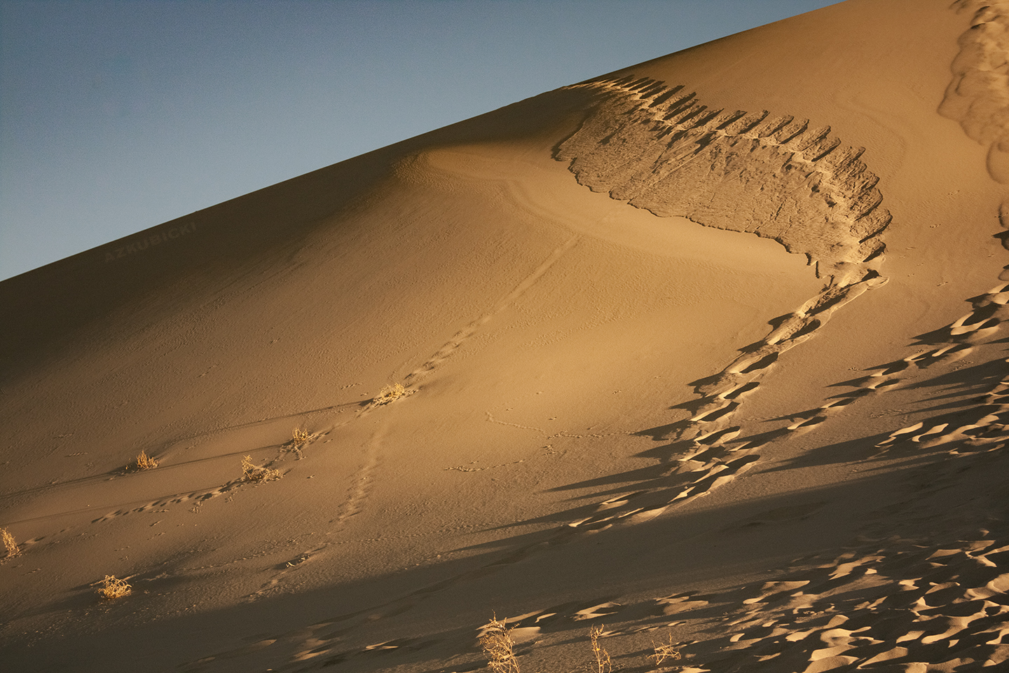
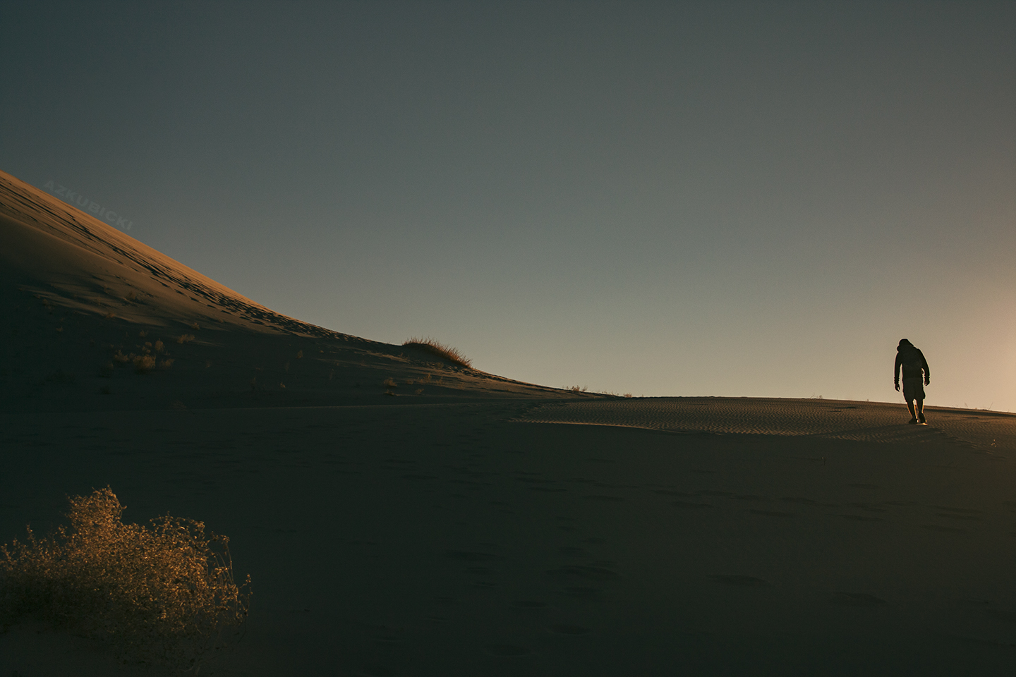
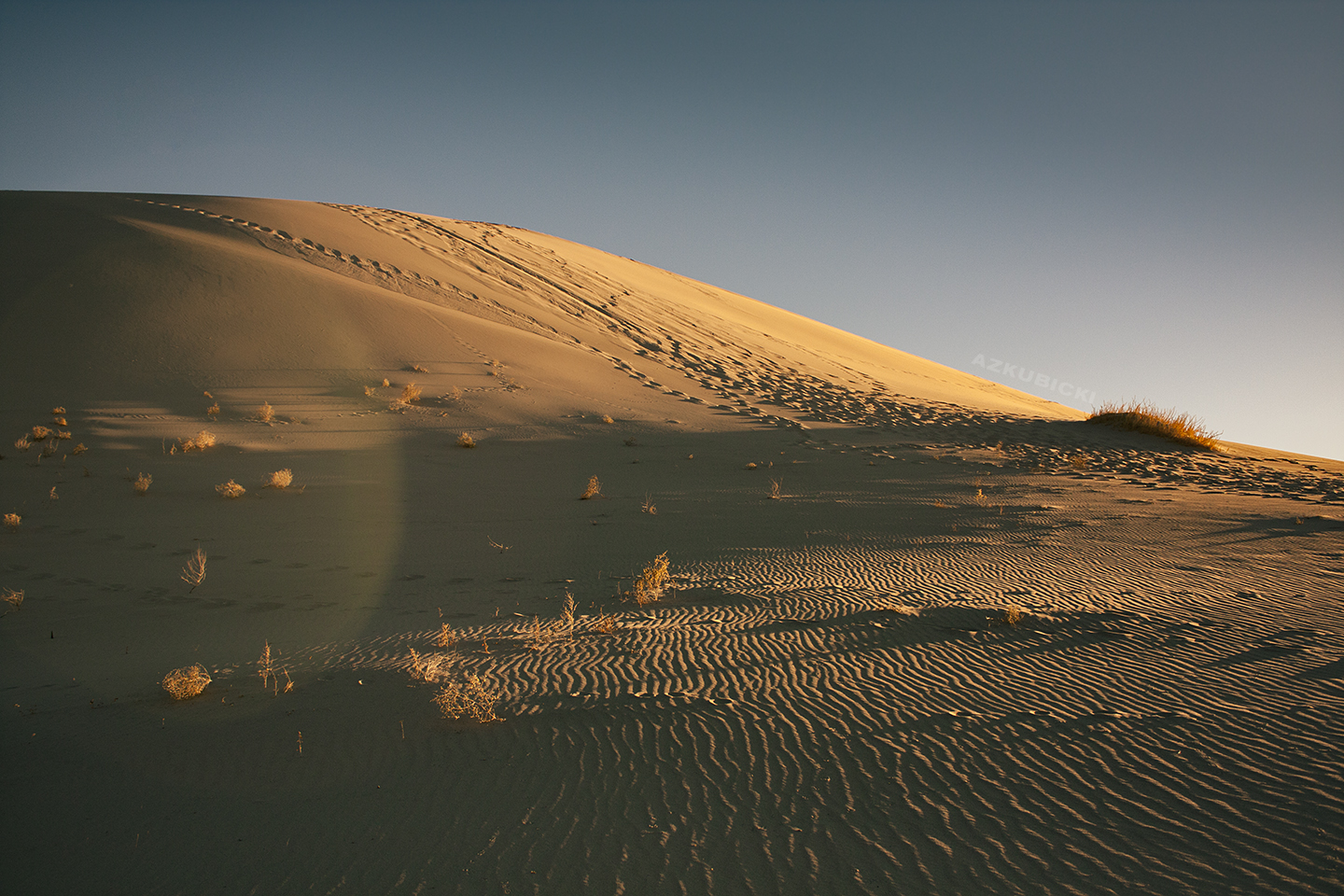
We followed Cucomongo Canyon as it wound around the base of the Last Chance Mountain, and eventually the land opened up into Eureka Valley. The vegetation became more sparse, the hills gave way to dried riverbeds, and the golden Eureka Dunes rose into view. We made it to the foot of the dunes just before sunset, so I was happy to finally dust off my camera.
Our next destination was the Saline Valley Warm Springs, which were about 30 miles south of our present position. On paper, the shortest way there is via the rough-hewn Saline Valley Road, which begins just past the dunes and is nestled between the Saline and Last Chance ranges. But of course, backcountry rules designate that the shortest route is generally not the easiest, and a checkered delineation on my map suggested that only the most rugged off-road vehicles venture this far. In addition, at the halfway point between us and the warm springs was a foreboding placemark with the name of Steel Pass.
In more mundane places, our Subaru boasted itself as an adventure vehicle with decent ground clearance. But the dunes was where we had passed some of the first other cars we had seen since venturing off the highway, and ours looked out of place and ill-equipped compared to the various Jeeps and lifted trucks that churned easily over the rocks and gravel. Needless to say, Steel Pass had raised some concerns about our capabilities.
We happened to stop for conversation with a man who had gotten some telephoto shots of us stomping up the dunes (which I’ll be sure to include here, if we ever hear back from him) – a fellow burner, he had noticed the Burning Man 2011 patch on my backpack and flagged us down to chat. He had traveled up to the dunes from Saline Valley that day, so we asked him about the state of the road – and he did his best to politely conceal a scoff. He told us that even Vincent’s lifted 4Runner would be hard-pressed to traverse the slick, tall boulders of the Steel Pass, and recommended we take a different route. I looked it up online afterwards, and holy shit am I glad we listened.
As the sun fell behind the Inyo Mountains, dipping the valley into shadow, we briskly hopped back in our cars – we would need to take a longer route to reach Saline Valley and had quite a bit of driving ahead of us before we could turn in for the night. Our earlier misadventure had drained most of our gas tanks, so we needed to make another detour to refuel in Big Pine. From there, we’d climb out of Owens Valley, traverse the Inyo Mountains through North Pass, and then descend into Saline Valley along the base of the Inyo Range via Death Valley Road (marked on some of my maps as Waucoba Saline Road)
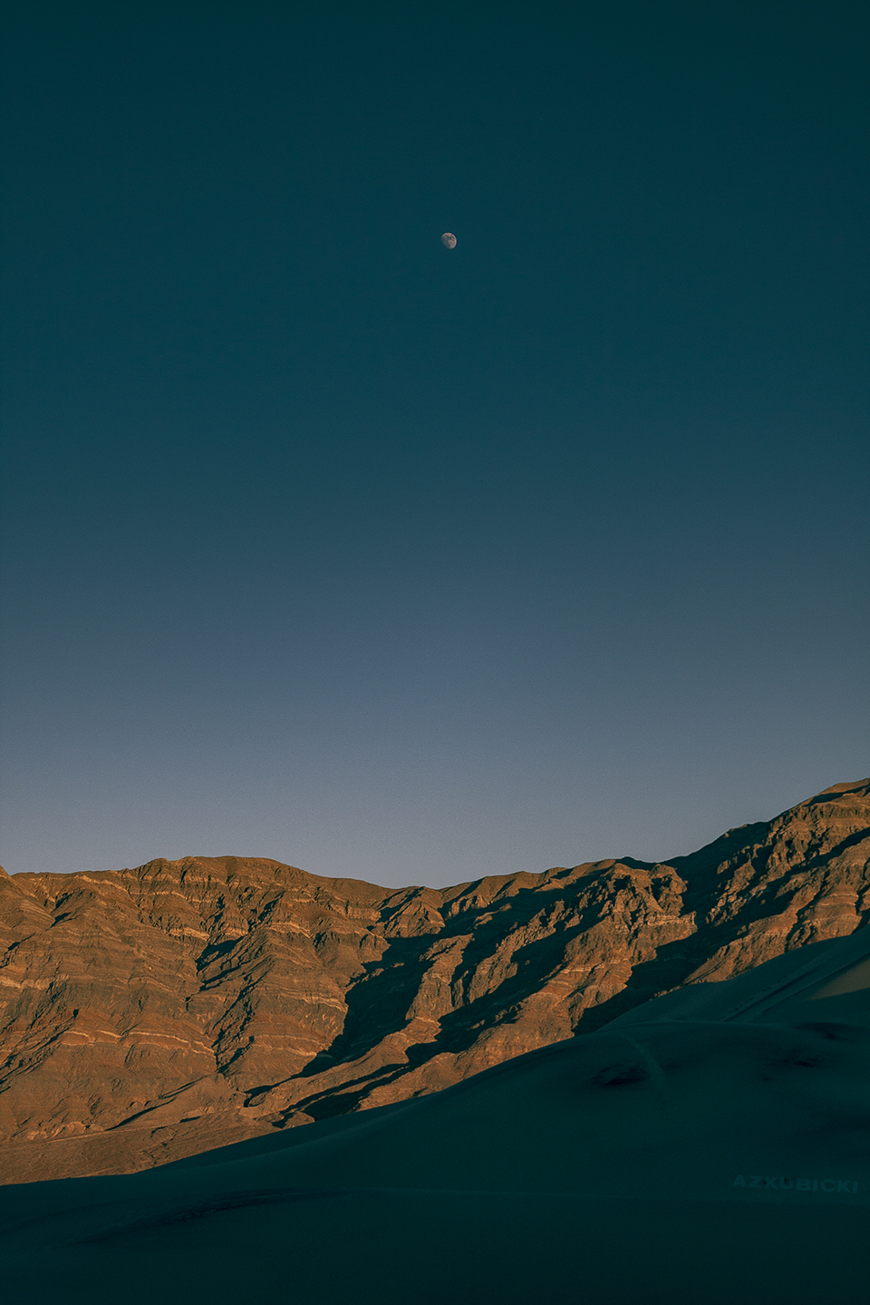
While the washboarded road was fortunately dry and snow-free, this turned out to be a harrowing nighttime trek. Bristclecone pines loomed over the road, and steep drop-offs and cliffs lurked in the shadows behind every switchback. It was slow and technical driving over rockier sections of the pass. Once through the highest point, we descended in a seemingly unending downhill course from 7600 ft elevation to 2000 ft. I was convinced we’d step out of the car and meet Dante in the first circle of hell. Here, Death Valley Road met with the southern portion of Saline Valley Road – supposedly more accessible than its northern portion – but we were dead tired and decided to call it a night at the junction. We awoke to stunning views of the Inyo Mountains rising from the valley floors.
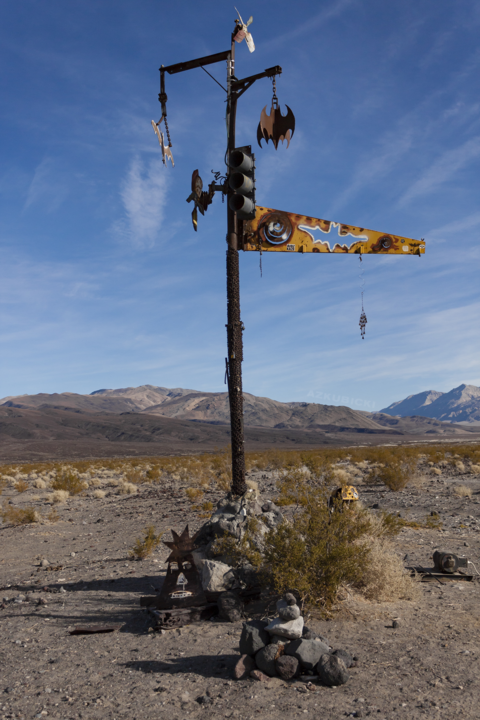
My next post will cover Saturday’s trip to the (drained) Saline Valley Warm Springs. We may be in bat country, but I’ll have to stop here for now.
Read Part II >>